Lake Maggiore: the old path up to Cavandone, above Verbania
A quiet loop on the old pedestrian path above Verbania — up through the woods of Monterosso to the medieval village of Cavandone, past the Buon Rimedio oratory and its view over the Borromean gulf, then down through fields to the lake. First-hand notes and the GPX.
Download GPX Route
Import to Garmin, Komoot, or any navigation app
Elevation profile
Getting there
Start: Suna (church of Santa Lucia), Verbania
End: Pallanza waterfront, Verbania
Bus/Train: Verbania (Pallanza/Intra) is on the Lake Maggiore ferries and the train. We started the walk from Suna — reached on foot or by boat round from Pallanza — and the loop comes back to the Pallanza waterfront.
Before you go
Prices and times — worth a quick check before you travel
Getting to Verbania (Lake Maggiore)
Verbania — the towns of Pallanza and Intra — sits on the western shore of Lake Maggiore, reachable by Navigazione Lago Maggiore ferries around the lake and by train to Verbania-Pallanza station. This walk is a loop up into the wooded hills behind the town, so you need no transport beyond getting yourself to the waterfront.
Lake Maggiore ferries · checked June 2026
Pallanza was our base on Lake Maggiore — one of the towns that make up Verbania, the comune strung along the western shore with Intra and Suna. We stayed in a lovely apartment with a view out over the lake and the town square, and a Lidl round the corner for the shopping. First thing to say about the area: it’s a lot quieter than Como. A lot. Como is wonderful, but it hums with people. This side of Maggiore seemed much less of a magnet for day-trippers — Stresa, over on the other side of the lake, is a different matter. On the day we weren’t heading off elsewhere, we did a loop out of the town: up an old footpath into the hills, and back down to the lake.
From Pallanza we made our way along the lakeside to Suna, the little frazione where the walk starts — I think we walked that first stretch by the water ourselves, though you can take a boat round to Suna if you’d rather. The path up to Cavandone is an old one — the pedestrian route that used to link the village up in the hills with the places down on the water, back before everyone had a car and a road to drive it on.
Up the old way to Cavandone
It begins at the church of Santa Lucia in Suna and slips straight into the old town behind it. The first stretch is sleepy — and I mean that kindly. Quiet lanes, shuttered houses, barely a soul about, the lake dropping away behind you as you start to climb.
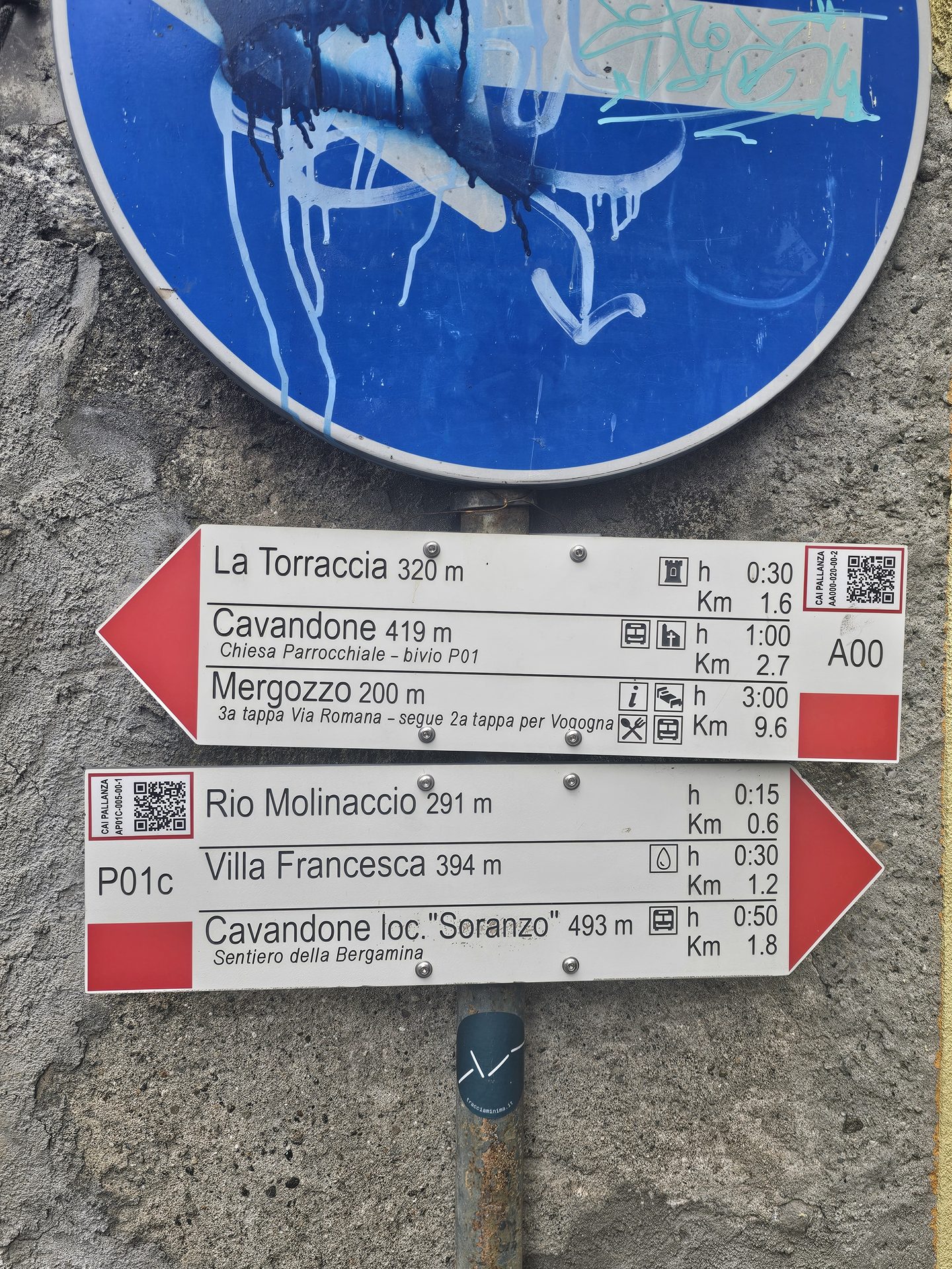
From there the path works its way up the wooded slopes of Monterosso, the hill that sits behind Suna. It’s a steady pull rather than a steep one, in and out of the trees, the shade welcome on a hot day. Underfoot it’s an old way and it feels like one — worn stone, the odd flight of steps, walls run alongside it in places. The only sound was the odd bird and our own feet. Somewhere along it you pass the Torraccia, a square stone tower of a house that’s been standing since at least the fifteenth century — a lookout once, part of the old defences keeping an eye between the lake and the valley behind.
The Buon Rimedio church
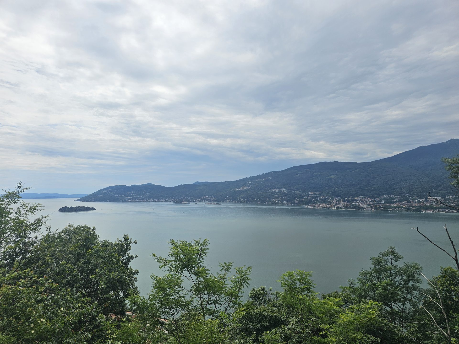
Up in the woods you come to the Madonna del Buon Rimedio — a small oratory, seventeenth-century, sitting on its own with no fuss about it. Shut up and unused now, as far as we could tell. But the position is the whole point: it looks straight out over the Borromean gulf, and the view from there is fantastic. The full sweep of the lake and the islands laid out below you. Worth the climb on its own.
Cavandone
A few more minutes and you’re into Cavandone, the village the path was built to reach. A small medieval place — old rural houses, narrow ways, nothing tidied up for visitors. By the parish church there’s an enormous yew, a Taxus baccata, reckoned to be five hundred years old. And a nice touch: a community bread oven the village brought back into use in 2016.
Down through the fields
Then the way down, and this was the bit that stuck with me. The path drops back towards the lake between old stone walls and fields, and — the weather aside — it gave me a very British-countryside feeling. Drystone walls, green fields, a track worn in by feet over a long time. You could have been somewhere in the Dales, if you ignored the Italian light and the lake sitting at the bottom of it.
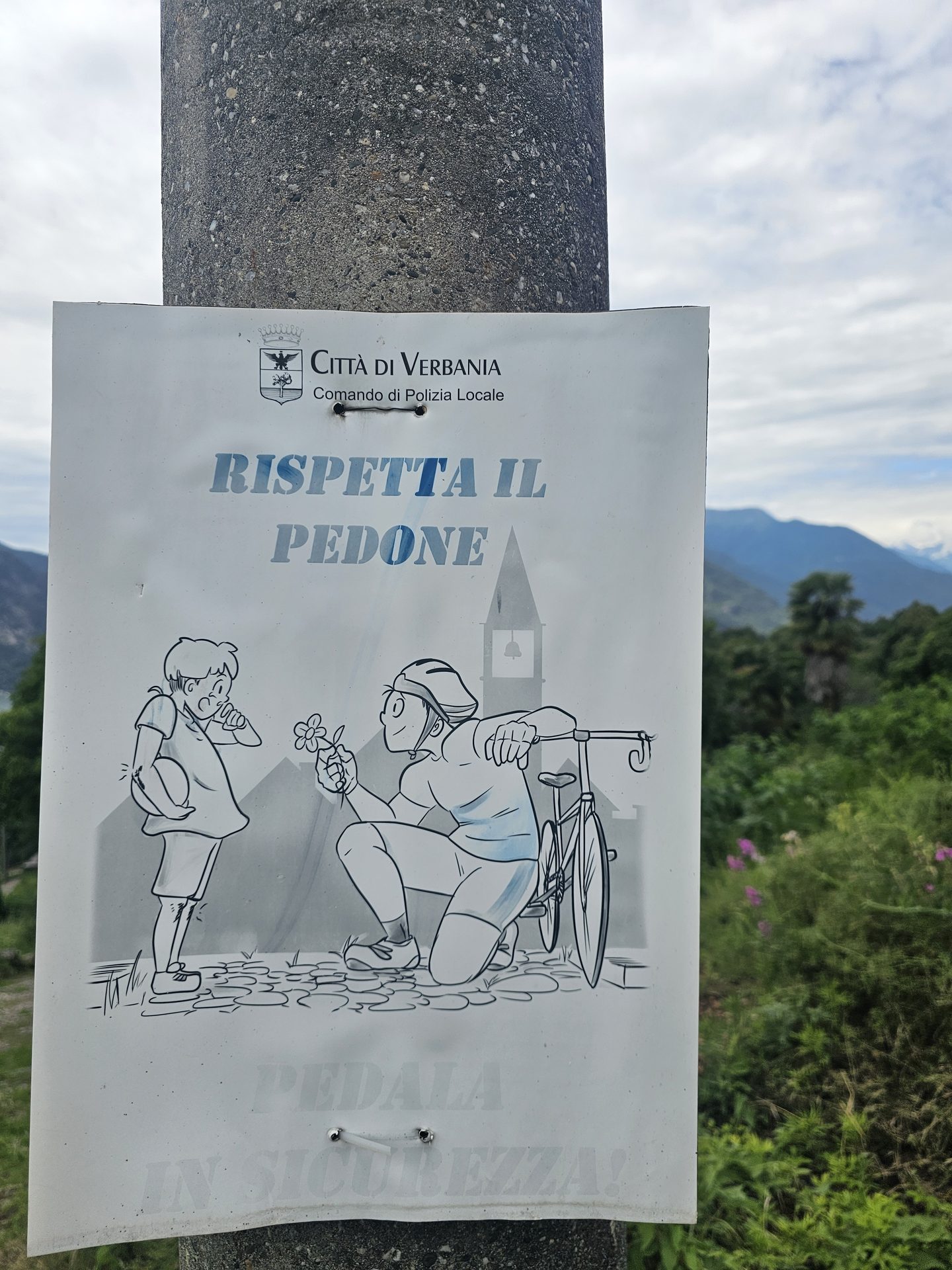
The last of it comes down through the upper streets of the town towards the front. One sign made us smile on the way — Rispetta il pedone, “respect the pedestrian” — a small, very Italian reminder of who’s boss on these narrow lanes.
Down at the bottom the lakeside town and its harbour spread out along the water.
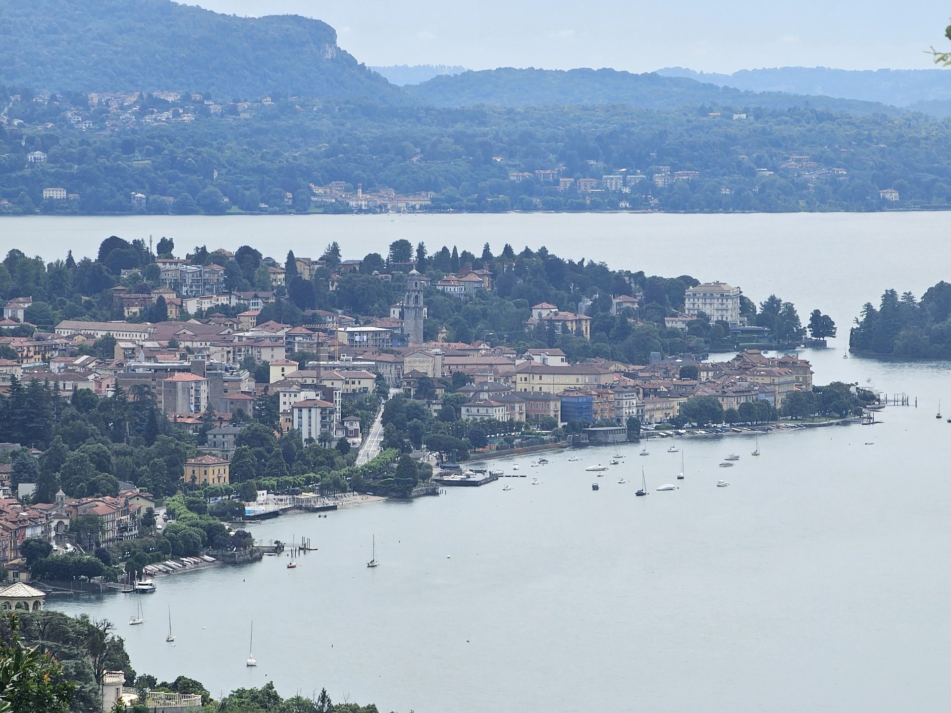
We made our way round to Pallanza, and after a hot day on the hill the only sensible thing was a gelato. We had two, to cool down. Earned, I’d say.
Practical notes
Getting here: Verbania (Pallanza/Intra) is on the Lake Maggiore ferries and the train — details in the Before you go box above. We made our way along the front from Pallanza to Suna to start — on foot, I think — but you can take a boat round to Suna if you’d rather. Either way, you need nothing more once you’re there.
The walk is a loop of around ten and a half kilometres with a few hundred metres of climb — the old Suna–Cavandone path up through the woods of Monterosso, the village at the top, then down through the fields to the lake. Good paths, well waymarked with the red-and-white signs you get all over the Italian hills. Footwear and water for the climb, especially in summer heat. The GPX above is our track from the day.
Part of our Italian Lakes walks — five days around Lake Como and Lake Maggiore.