Lake Como: the old hamlet path from Gera Lario to Domaso
The wild northern end of Lake Como — an old waymarked path linking the hillside hamlets between Gera Lario and Domaso, past country churches, vineyards and chestnut woods, with a lakeside lighthouse at the start. First-hand notes and the GPX.
Download GPX Route
Import to Garmin, Komoot, or any navigation app
Elevation profile
Getting there
Start: Gera Lario (north Lake Como)
End: Domaso (north Lake Como)
Bus/Train: Gera Lario is reached on the ASF C10 bus up the western shore from Como; Domaso, at the far end of the walk, is served by the same bus and by the lake boats and hydrofoil for the return.
Before you go
Prices and times — worth a quick check before you travel
Bus — Lake Como western shore (ASF C10)
The C10 runs the western lakeside road from Como up through Cernobbio, Moltrasio and Argegno to Menaggio, and on towards Colico at the north end — the way to reach the west-shore villages and the top of the lake by public transport. It is a long, winding ride right along the water, and watching the drivers thread a full-size coach through the narrow lakeside streets is a small marvel in itself. Roughly hourly with seasonal variation — check before you travel.
ASF timetables · checked June 2026
Gera Lario sits right at the top of Lake Como, at the point where the lake gives out into the flat expanse of the Pian di Spagna and the big northern mountains crowd in around it. It is a world away from the villa-and-gelato Como that most people have in mind — quieter, wilder and a good deal more imposing, with steep wooded slopes rising straight off the water and snow still showing on the high tops behind.
Getting there — the long way up by bus
We came up by bus, which is a journey in itself. The ASF C10 runs all the way up the western shore from Como’s bus station, and it takes its time about it, calling at one lakeside village after another as it goes. It is a slower business than the ferries, but you see the lake differently from the road — the towns strung along the shore, the comings and goings, the gradual shift from the polished resorts of the lower lake to something rougher and more workaday as you head north. By the time you reach this end of Como the character has changed entirely: more campsites, more boards and sails on the water, more of the everyday business of a place people actually use, rather than simply admire. The wind funnels down to the top of the lake here, and it draws the windsurfers in numbers.
It will test your patience a little if you are not used to buses. We don’t mind that sort of thing — it is all part of the day, and part of how you come to know a place.
The lake before the walk
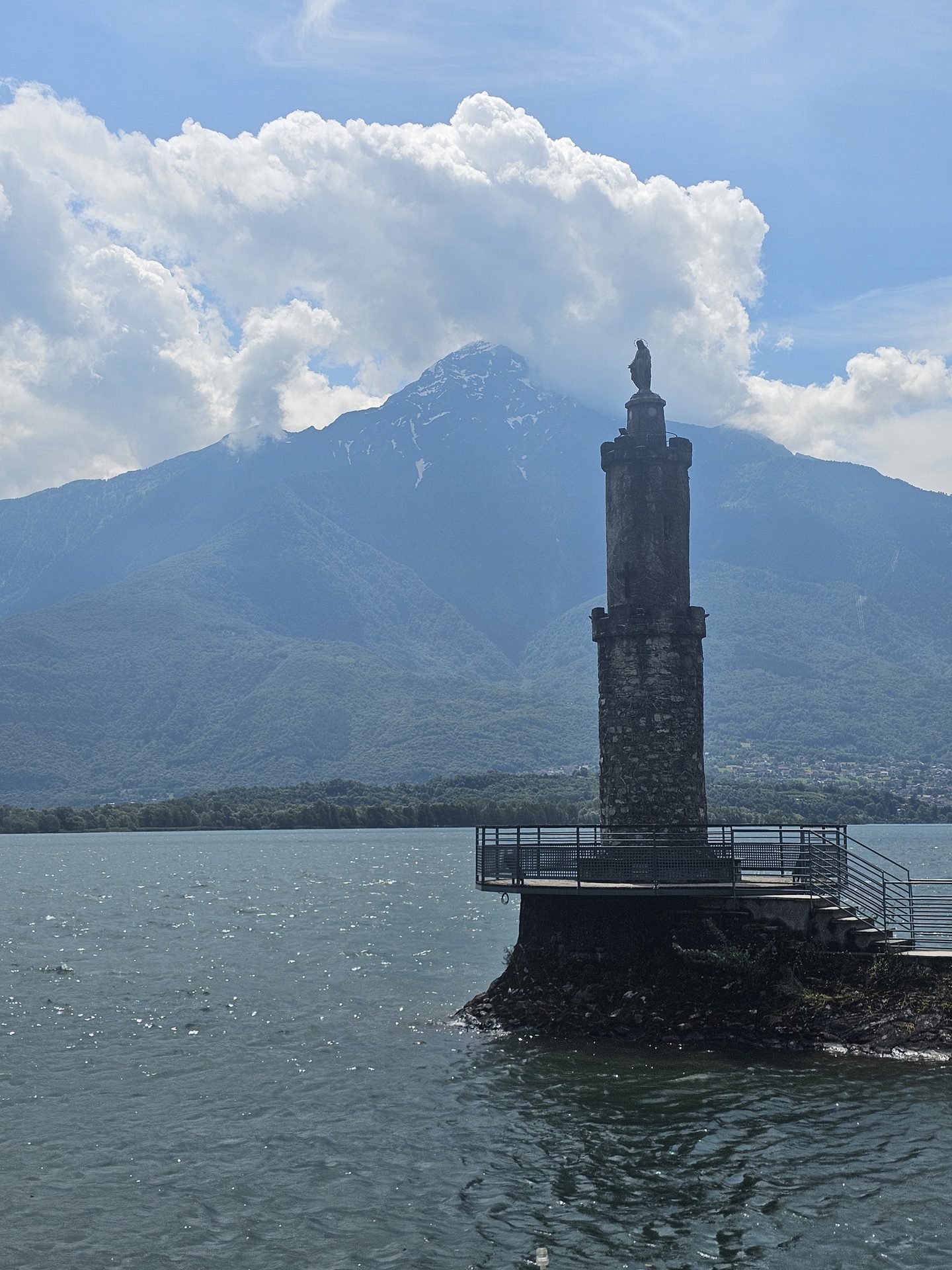
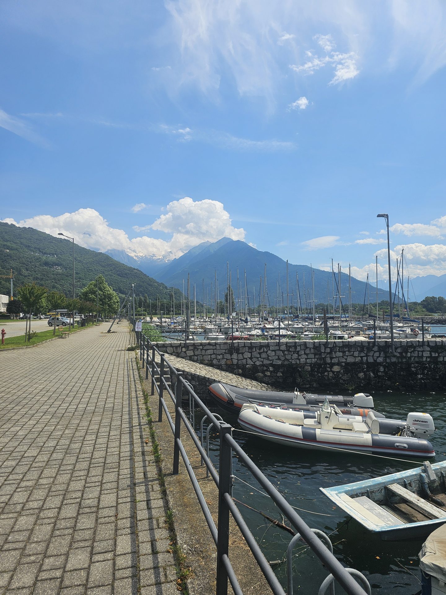
The lakefront at this northern end is an understated spot: a quiet promenade, a scatter of moored boats, and the mountains stacked up across the water. Out on a low rock platform stands a small stone lighthouse topped with a statue — one of those quietly grand touches you come across all around these lakes — with Monte Legnone and the northern peaks ranged behind it.
Over the hillside to Domaso
The walk itself is an old one — the path that once linked the hamlets strung along the lower slopes above the lake, well before any road tied them together. We walked it from Gera Lario towards Domaso, which is the reverse of the way the route is usually written up, setting out from the fifteenth-century church of San Vincenzo and climbing gently out of the village onto the hillside.
From there it threads from one old settlement to the next, never far above the water but always with the lake below you. The way runs through Trezzone, with its parish church of the Madonna delle Grazie, and on into Aurogna, a tight old hamlet of stone houses and narrow alleys where a faded Madonna is painted on the wall of one of the cottages. Between them the path crosses the rough little valley of Vercana — the one stretch that asks for some care, dropping into the cleft and climbing back out the far side.
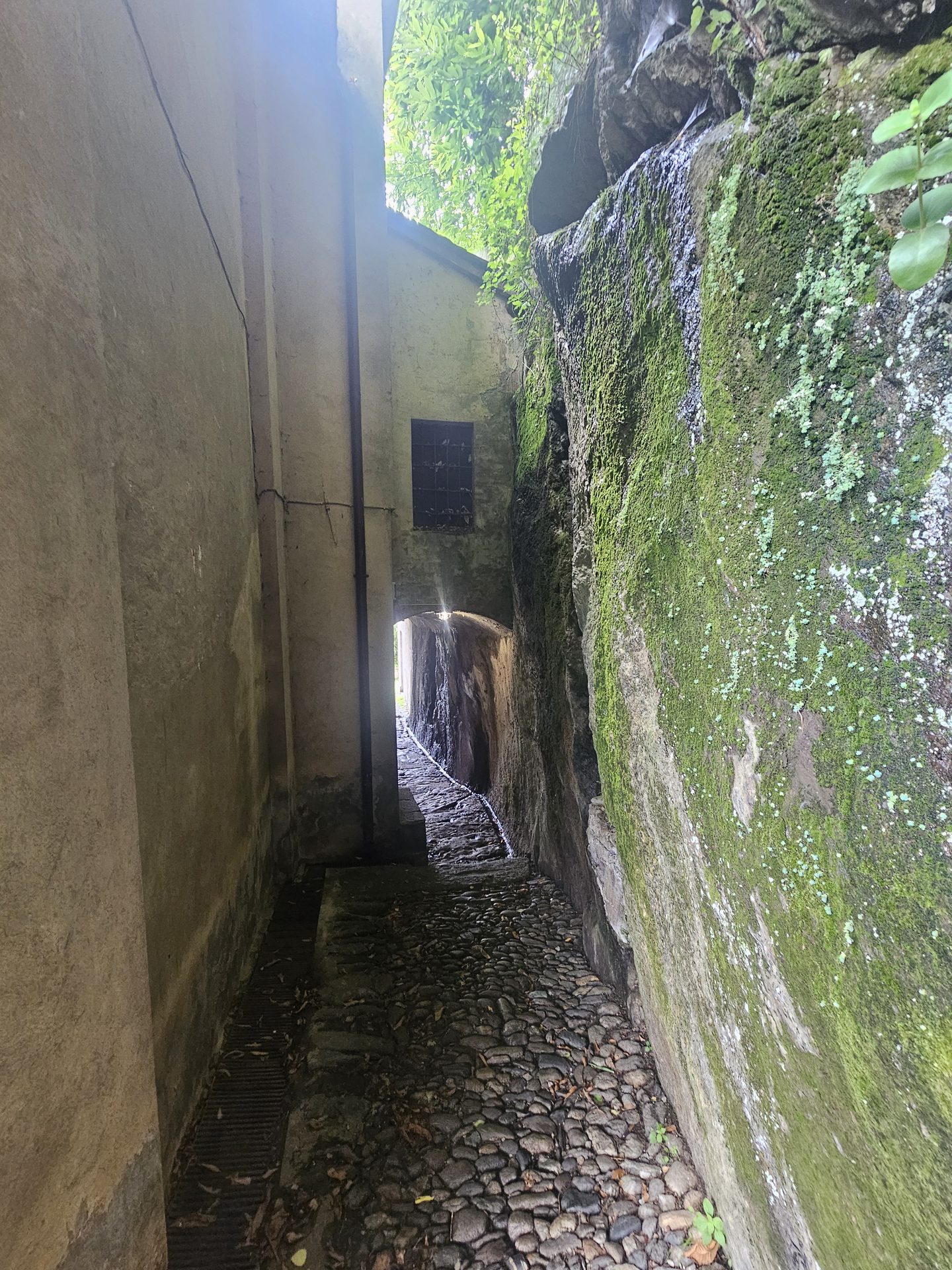
Much of the middle of the walk is in chestnut woods, past the ruins of old farmhouses, with the trees opening now and then onto pasture and a wide view back over the head of the lake, where the rivers Mera and Adda run in across the flats. Lower down it is vineyards and cobbled tracks, the baroque church of San Salvatore at Arbosto, and finally the long descent into Domaso — past the hillside sanctuary of the Madonna delle Nevi, the little oratory of San Silvestro with its frescoed front, and over the river Livo to the lakefront.
Practical notes
Getting here and back: Gera Lario is the far north of the lake, reached on the ASF C10 bus up the western shore from Como — a long ride, but a scenic one. Domaso, where the walk ends, is on the same bus line and is also served by the lake boats and hydrofoil, so you can ride back by water if the timings suit. Times are seasonal — details in the Before you go box above.
The walk is a steady half-day on old paths and cobbled mule tracks, undulating rather than steeply climbing — around 350 metres of ascent all told, once you add up the ups and downs. The waymarking is sparse, so it is worth following the GPX above (our track from the day), and the crossing of the Vercana valley wants a bit of care. Decent footwear and water, especially in summer heat.
Part of our Italian Lakes walks — five days around Lake Como and Lake Maggiore.