Lake Como: Brunate, the Volta Lighthouse and the ridge to Torno
A first-hand walk above Lake Como — up from the lakefront to Brunate and the Volta lighthouse, along the ridge, then down to Torno for the boat back. Route notes and the GPX from our day.
Download GPX Route
Import to Garmin, Komoot, or any navigation app
Elevation profile
Getting there
Start: Como lakefront (funicular station)
End: Torno
Bus/Train: Como is the railhead — direct trains from Milan. Walk or take the funicular up to Brunate; come back from Torno by ferry or the C30 bus.
Before you go
Prices and times — worth a quick check before you travel
Funicular — Como to Brunate
The Como–Brunate funicular has climbed from the lakeside up to Brunate (about 700m) since 1894, and runs roughly every 15–30 minutes through the day. Handy if you would rather save your legs for the ridge and ride up — though the walk up the mule tracks is part of the day if you want it.
Around €6 return (check current fare)
Funicular times & fares · checked June 2026
Getting back — Torno to Como (ferry or bus)
From Torno you can return to Como by boat or by road. The Navigazione Laghi passenger ferries take roughly 25–30 minutes along the lake; the ASF Autolinee C30 bus runs the lakeside road between Como and the villages. Both are seasonal and timetabled, so check the last departure before you set off — you do not want to be stranded at the quay.
Lake Como ferries · ASF C30 bus · checked June 2026
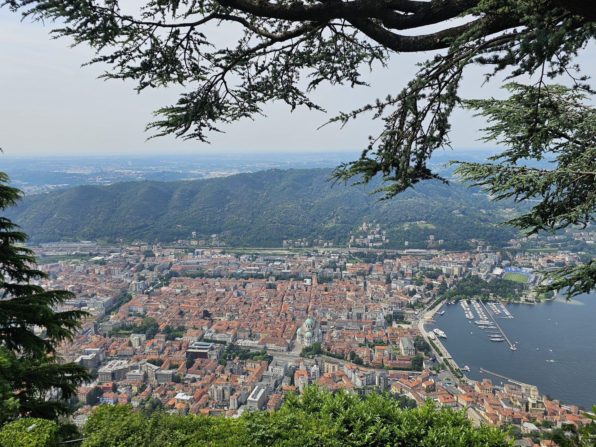
Most people come to Lake Como for the boats, the gardens and the gelato by the water. Fewer look up at the hills behind the town and think about walking them. That’s the mistake — some of the best of Como is the view back down on it, from the ridge that climbs straight out of the lakefront.
We did this one on a hot June day in 2024, out on a trip to the lakes. It’s a walk of two halves. A long, steep haul up out of the town to start, climbing through Brunate to the old lighthouse on the hill — then hours of high, easy ground along the wooded ridge, the lake laid out below you the whole way, before the path tips down to Torno and the boat back across the water.
Up from the lake
The walk starts right in Como, by the water, and it goes up steeply almost from the first corner. You can take the funicular instead — it’s been hauling people up to Brunate since 1894, and there’s no shame in saving your legs for the ridge — but we walked it, up the old mule tracks and stepped lanes between the villas.
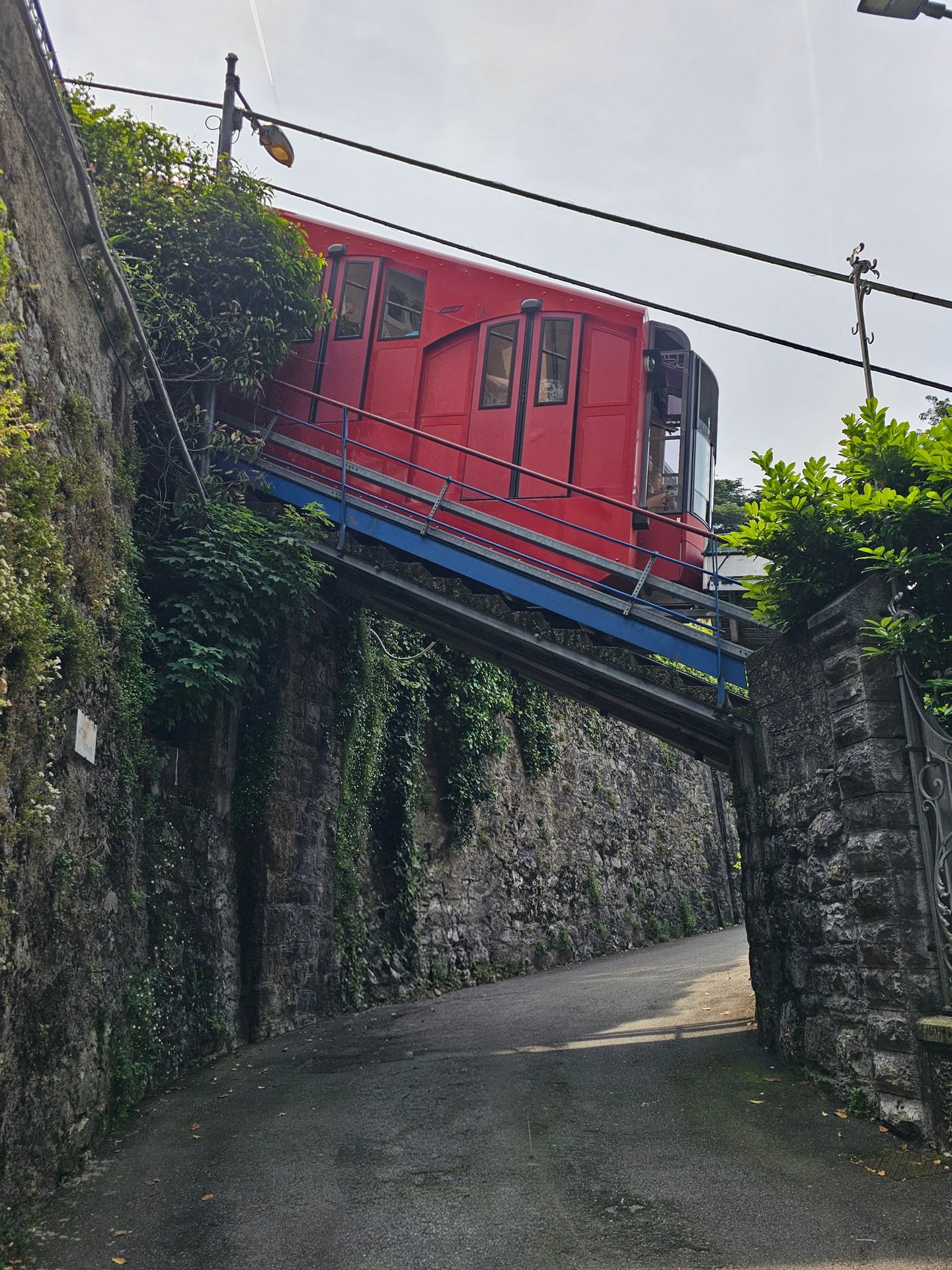
Going up on foot you spend a lot of the climb winding through housing and residential streets, and there were a few points where we were sure we’d drifted off the route. Keep going — it joins back up. The path’s seen better days in places too: cracked steps, crumbling edges, the odd bit where you watch your footing. All walkable, just don’t expect it manicured.
And it’s a proper pull. We did it in real heat, and it was hot, sweaty, head-down work — the best part of 500 metres of climb before you’ve really got going, with the lake dropping away below you the whole time. Take more water than you think you’ll need.
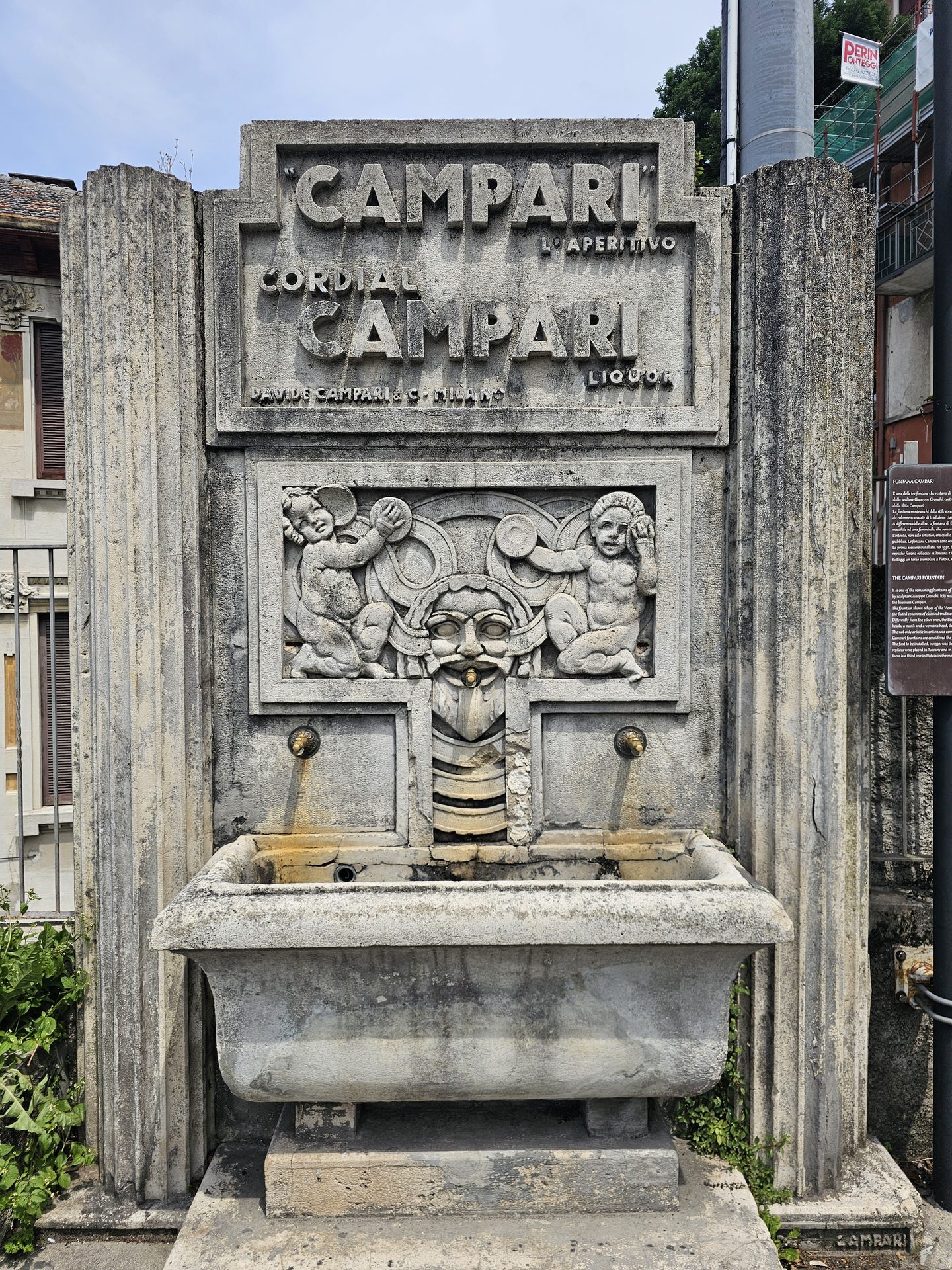
Brunate sits at the top of it, a little hill village that feels a world away from the bustle on the lakefront, with Liberty-era villas and a balcony view straight down the lake. After that climb, the first job is something cold and al fresco — a gelato, or a cold drink on a terrace with the view. I had a granita. In that heat, perfect.
The Volta lighthouse
From Brunate you follow the signs for San Maurizio and the Faro Voltiano — the Volta lighthouse. It’s an octagonal stone tower up on the hill, put up in 1927 for the centenary of Alessandro Volta’s death (the local lad who gave his name to the volt). You can climb the steps inside for a view that takes in the lake, the city and, on a clear day, the Alps away to the north.
Volta was a Como man through and through, and the lighthouse isn’t the only nod to him. Down on the lakefront, where you started, there’s the Tempio Voltiano — a neoclassical museum built entirely around him, with his original instruments and one of the first electric batteries inside. Worth half an hour at the end of the day if your legs will still carry you there.
This is where most day-trippers turn round and head back down. Keep going, and you have the ridge more or less to yourself.
Along the ridge to Torno
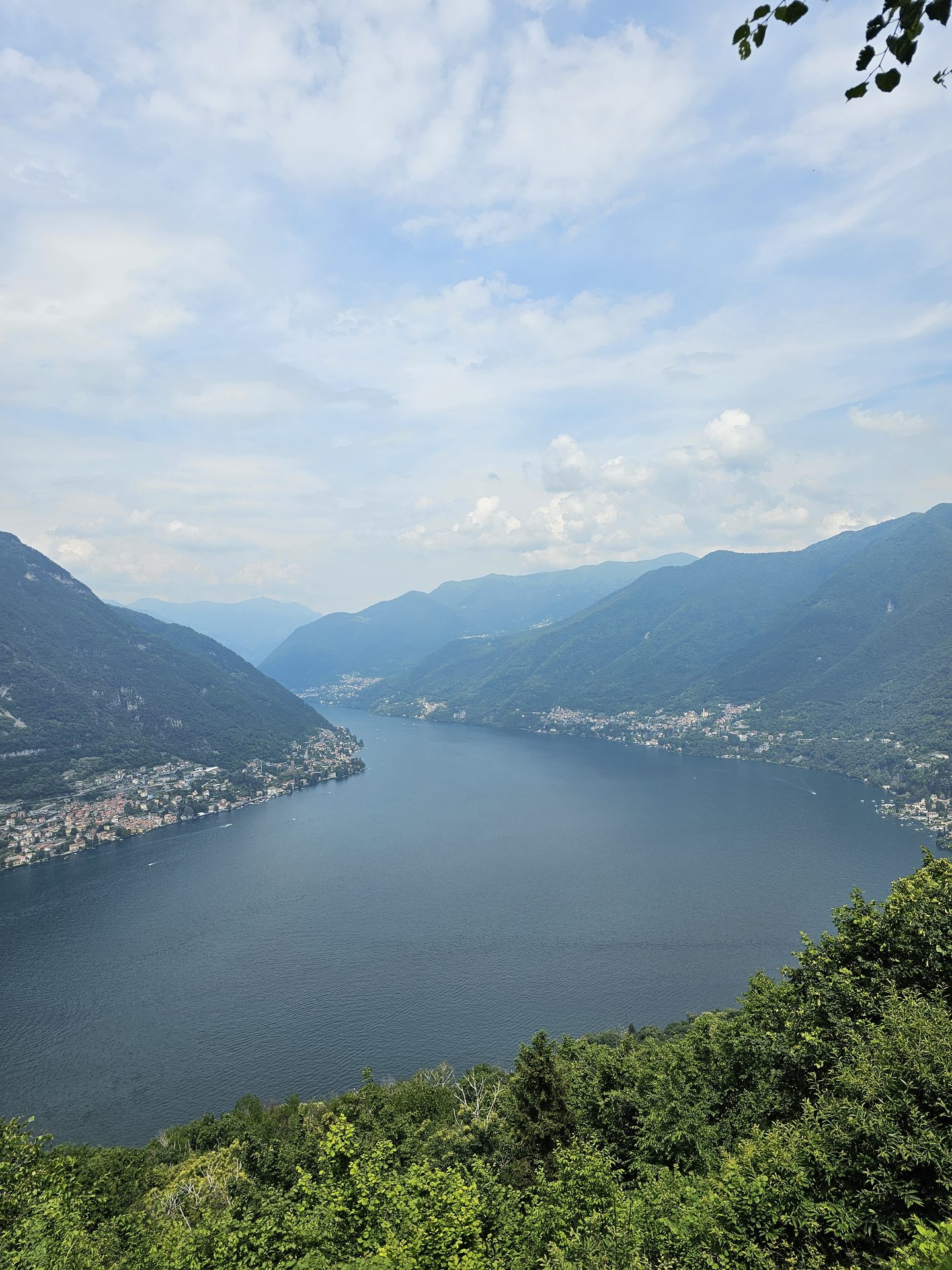
Past the lighthouse the path picks up the start of the Dorsale del Triangolo Lariano — the long ridge that runs down the middle of the lake’s southern fork. We didn’t take it all the way; we followed it north along the tops, in and out of woodland, with the lake flashing through the trees on the left.
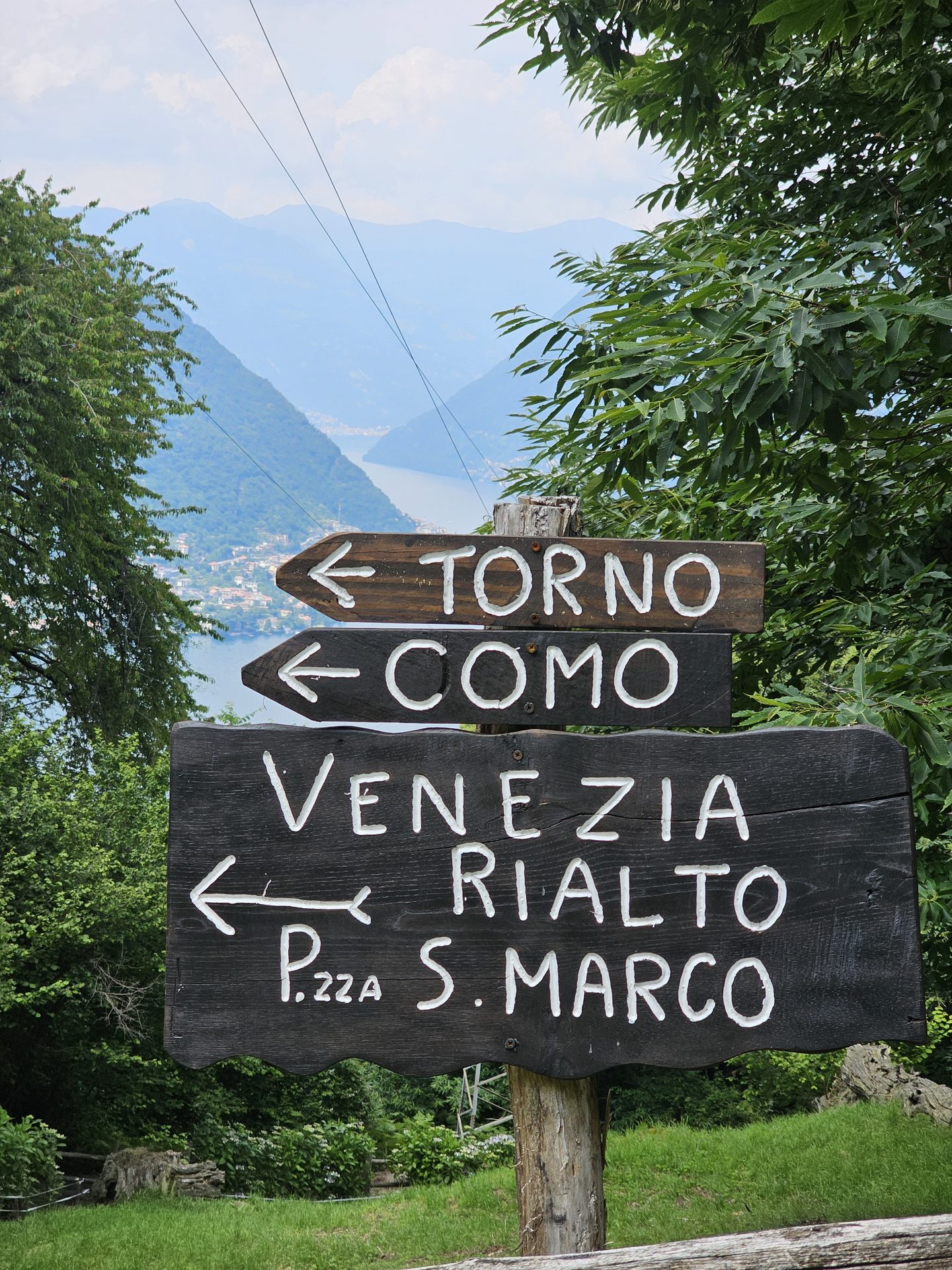
Eventually the path tips off the ridge and drops down towards the water again, through old terracing and quiet hamlets, into Torno — a small lakeside village with a couple of churches, a tight little harbour, and somewhere to sit with a drink while you wait for the boat.
Getting home
From Torno it’s the ferry back to Como across the water, or the C30 bus along the lakeside road if the timings work out better. Either way, check the last departure before you commit — it’s a long way round on foot if you miss it. Times are in the Before you go box above.
Practical notes
Getting there: Como is easy by train from Milan, which makes this a walk you can do without a car at all — a rare thing for a proper hill day.
Where we stayed: Como was our base for this leg — self-catering apartments in the middle of town at Residence Diaz, a short walk from the lakefront and the start of the climb.
The climb: the hard work is all in the first hour, straight up from the lake. After that it undulates along the ridge. Good footwear and water for the ascent, especially in summer heat.
Maps: Italian walking maps cover the Triangolo Lariano; the signed routes from Brunate are easy enough to follow, and the GPX above is our track from the day.
Still filling this one in — more to come on the long ridge stretch and Torno itself. The climb, the route and the logistics are all here from our day.
Part of our Italian Lakes walks — five days around Lake Como and Lake Maggiore.